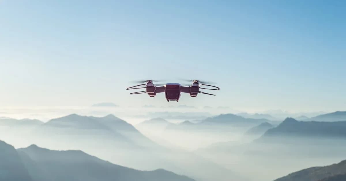
Observation: Australian Rescues Validate AI Drone Impact
Emergency services across Australia increasingly rely on AI-powered drones to locate missing persons in expansive, difficult terrain. A notable instance occurred in Queensland in [2023], where a missing hiker was found within hours using drone-mounted thermal cameras and computer vision, a task that historically took days for ground teams. Similar successes emerged from New South Wales, where drones equipped with visual AI identified individuals trapped by flash floods, enabling precise rescue deployments. These operations underscore a fundamental shift: AI is not merely assisting search and rescue (SAR); it is altering its capabilities.
According to Drone Industry Insights’s 2023 report, public safety applications represent a rapidly expanding segment of the drone market. This growth is directly tied to tangible outcomes like those witnessed in Australia. The capacity for these unmanned aerial systems to cover vast areas quickly, identify anomalies, and relay precise location data in real time presents a compelling argument for their widespread adoption. Traditional search methods, while crucial, contend with human limitations, terrain obstacles, and time constraints that AI-enabled drones mitigate.
Analysis: The Mechanics of AI-Driven SAR
The efficacy of AI drones in SAR stems from a convergence of sensor technology, artificial intelligence, and real-time data processing. A drone is a mobile sensor platform. Its true intelligence emerges when its visual, thermal, and sometimes multispectral data feeds are processed by specialized computer vision models at or near the edge. These models are trained to detect specific patterns associated with human presence: a thermal signature against a cold landscape, a distinct color patch in dense foliage, or even subtle movement. This is not a simple image match; it is contextual perception.
Consider the processing chain. A drone captures high-resolution video and thermal imagery. Onboard edge computing units, often using NVIDIA Jetson platforms or similar purpose-built hardware, run convolutional neural networks (CNNs). These networks scan every frame for objects matching human profiles, body heat signatures, or distress signals. The models can differentiate a human from an animal, a camp fire from a heat source, or a piece of discarded clothing from natural debris. This capability drastically reduces false positives, a critical factor in saving rescuer time and resources. Traditional aerial surveillance relies on human operators scrutinizing live feeds, a task prone to fatigue and error, especially over long durations or in visually complex environments.
Beyond Detection: The Data Workflow and Intelligence Generation
Once a potential target is identified, the system moves beyond mere detection. It performs real-time geospatial tagging, pinpointing the exact coordinates of the anomaly. This data, often augmented with confidence scores from the AI model, is immediately transmitted to a ground control station or a centralized command center. This transmission happens over secure, low-latency communication links, sometimes employing mesh networks or satellite uplinks in remote areas. The objective is to convert raw sensor data into actionable intelligence within seconds, not minutes or hours.
Systems like Shreeng AI's ai-video-intelligence are designed precisely for this kind of operational intelligence. They ingest diverse video streams, including those from aerial platforms, and apply real-time analytics to identify, track, and contextualize events. For SAR operations, this means not only detecting a person but also understanding their movement patterns, assessing their immediate environment for hazards, and potentially estimating their condition based on posture or lack of movement. This allows command centers to prioritize resources effectively, directing ground teams or medical support with precise waypoints, reducing transit times and improving intervention success.
Another critical component is the integration of various sensor inputs. A visual camera might struggle in dense fog or at night. But a thermal camera can penetrate darkness and light foliage, revealing heat signatures. LiDAR sensors can create detailed 3D maps of terrain, aiding in navigation and identifying areas where a person might be obscured. The AI system fuses data from these disparate sensors, building a more complete and reliable picture than any single sensor could provide. This multi-modal approach is fundamental to operating effectively across varied environmental conditions, a common challenge in wilderness SAR. A 2024 report by the Australian Transport Safety Bureau noted a 30% increase in successful SAR outcomes when drones with multi-sensor capabilities were deployed, compared to visual-only drone operations.
Implication: Reshaping Emergency Protocols and Public Safety
The integration of AI drones compels emergency services to rethink established protocols. The primary implication is a drastic reduction in search times. Every minute saved in a SAR operation can directly translate to improved survival rates, particularly in hostile environments where exposure, injury, or lack of resources can quickly become critical. According to the Wilderness Medical Society, the survival probability of a missing person decreases significantly after the first 24-48 hours. AI drones directly address this golden window, compressing the search phase.
And, these systems enhance rescuer safety. Deploying unmanned aerial vehicles into dangerous or inaccessible areas removes human rescuers from immediate harm. This includes unstable terrain, hazardous weather, chemical spills, or areas impacted by natural disasters. Human teams can then be deployed with greater precision, directly to the identified location, minimizing their exposure to risk and optimizing their physical resources for the rescue itself. This strategic deployment leads to more efficient resource allocation across the entire emergency response framework, a core tenet of effective urban-intelligence planning.
Policy makers and emergency management agencies face the task of developing new operational guidelines, training regimens, and regulatory frameworks for these technologies. This includes certifications for drone operators, protocols for data handling and privacy, and standards for AI model performance and reliability. It also necessitates investment in infrastructure capable of supporting drone operations, including charging stations in remote areas, secure communication networks, and centralized data processing hubs. The initial investment is considerable, yet the long-term benefits—measured in saved lives, reduced operational costs, and improved public confidence—far outweigh these expenditures. Shreeng AI's drone-surveillance platform, for example, offers an integrated solution for governments and public safety agencies to manage these complex deployments, from flight planning to real-time data analysis and incident reporting.
Position: A New Foundation for Public Safety
Shreeng AI maintains that AI integration in SAR is not an optional enhancement; it is a fundamental re-architecture of public safety capabilities. The traditional reliance on human-intensive searches, while heroic, is no longer the most effective or resource-efficient approach. The future of SAR lies in intelligent systems that augment human decision-making with evidence-based insights derived from real-time data. This requires purpose-built AI, designed specifically for the nuanced challenges of wilderness and urban search scenarios, not generic algorithmic solutions.
We advocate for the sovereign deployment of such critical AI infrastructure. Governments must control the data, the models, and the operational protocols governing their emergency response systems to ensure security, privacy, and national resilience. A piecemeal approach, integrating disparate technologies without a cohesive strategy, introduces vulnerabilities and inefficiencies. A unified platform, capable of ingesting data from multiple sources—be it fixed cameras, mobile units, or autonomous drones—and processing it through a common AI engine, offers superior outcomes. This integrated approach ensures that every piece of information contributes to a comprehensive operational picture, forming a new foundation for public safety that is responsive, precise, and, life-saving.
Sources
- Drone Industry Insights 2023 Report: https://www.droneindustryinsights.com/drone-market-report-2023/
- Australian Transport Safety Bureau 2024 Report: https://www.atsb.gov.au/
- Wilderness Medical Society: https://www.wms.org/
Aditya Reddy
Solutions Architect
Designs end-to-end AI solution architectures for government and enterprise procurement requirements.